Ecoregions
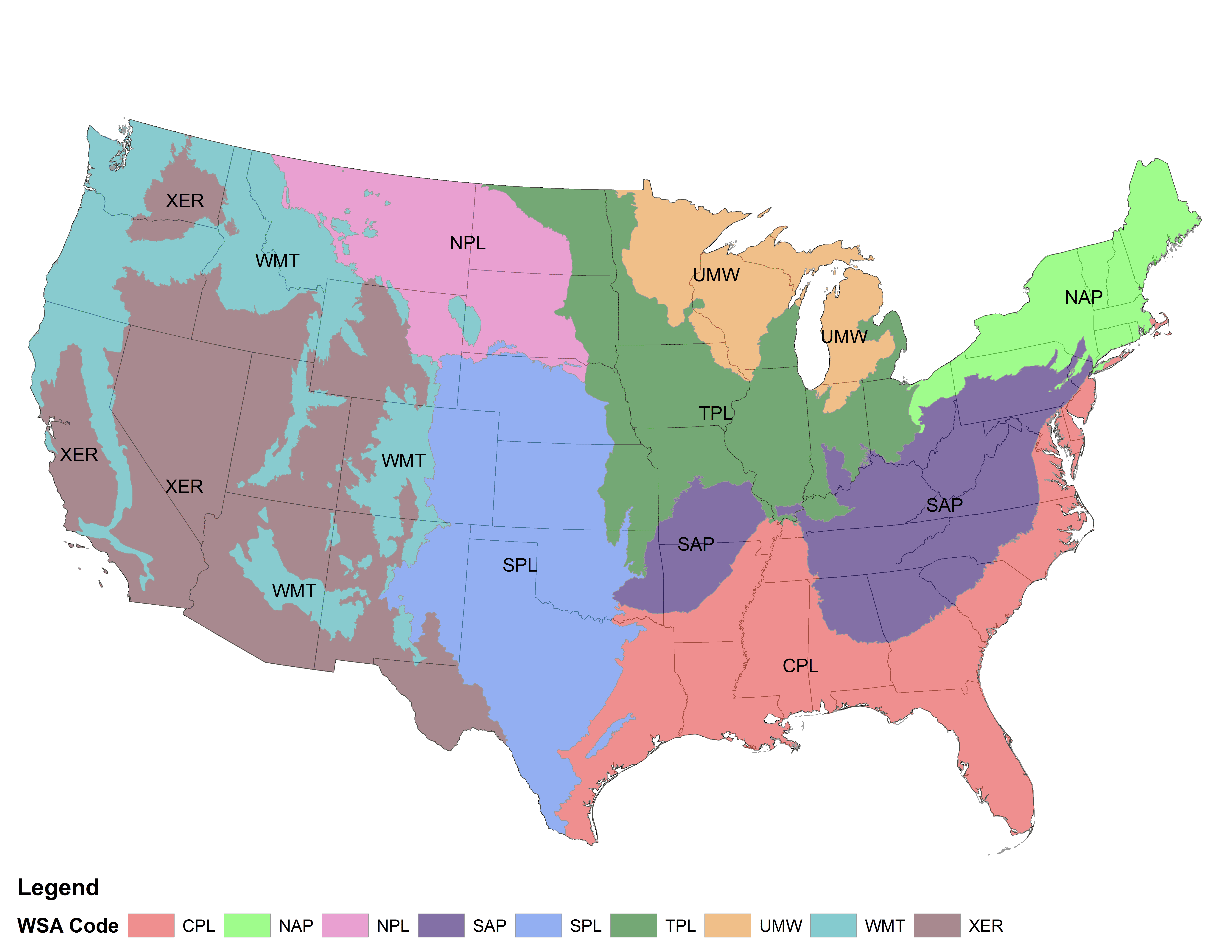
The RFHP uses the EPA's aggregated Level III ecoregions derived from the Wadeable Streams Assessment. Search for your reservoir on the Priority Dashboard to easily determine your ecoregion, typical fish habitat impairments, and important fish species.
Explore the Priority DashboardEPA Wadeable Streams Assessment ecoregions
Please feel free to download the following GIS layers, should you need them:
Explore Priorities
The latest information on fish habitat impairments and fish species by ecoregion.


